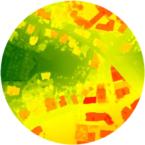
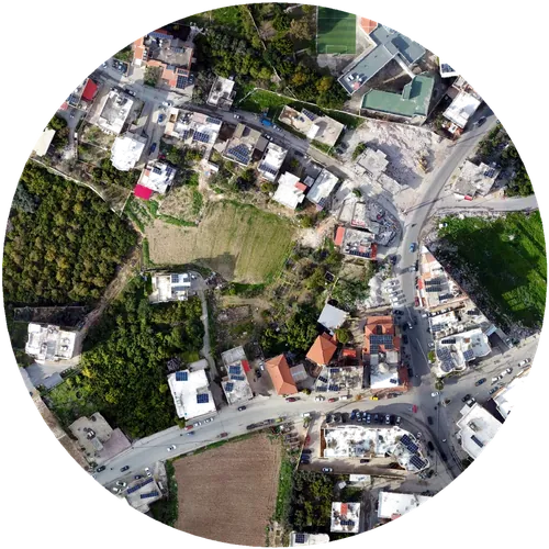
OrthophotoDEM
01
Aerial Surveying & Photogrammetry
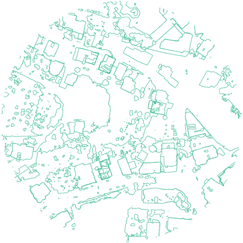
Orthophotos, elevation models and CAD-ready contours. Survey-grade, GCP-verified.
OrthophotoDSM / DEMCAD-ready contours



RTK centimeter-grade aerial surveying
Aerial surveys, volumes, 3D models and 360° tours across Lebanon.
±1–3 cm accuracy · 2–4 day turnaround
From raw aerial capture to a model your team can actually use. Survey-grade accuracy, priced and turned around for Lebanon.
OrthophotoDEM
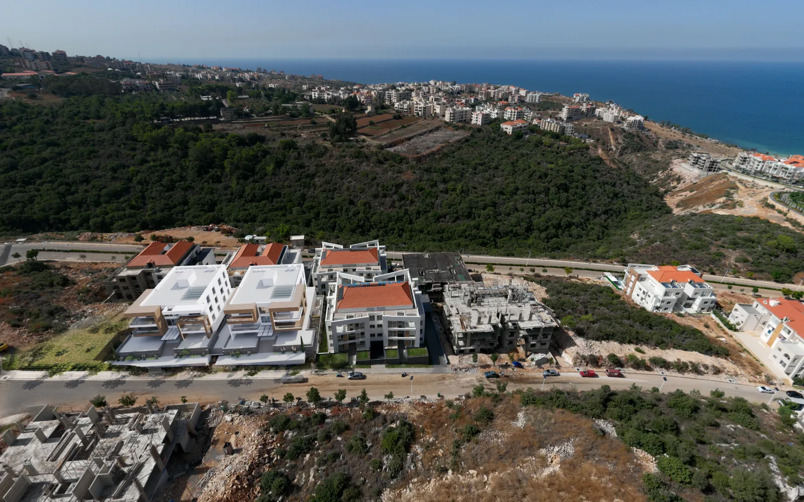
Orthophotos, elevation models and CAD-ready contours. Survey-grade, GCP-verified.
Stockpile volumes, cut-and-fill and earthwork reports, calculated straight from the same aerial survey data.
 Live 3D modelDrag to rotate
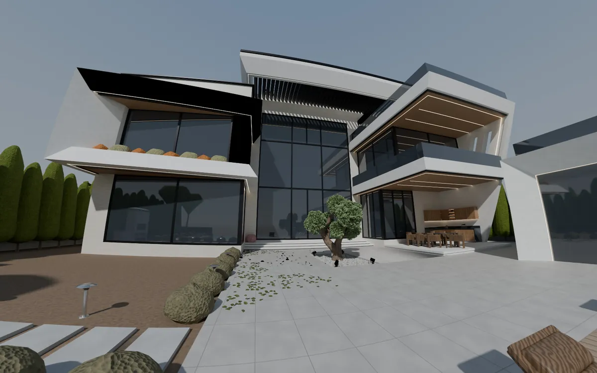
Photogrammetry-based models of buildings, interiors and sites, for planning or pre-sales.
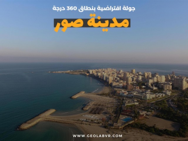
Interactive indoor walkthroughs paired with real estate videos, so buyers can explore and see a property before visiting.
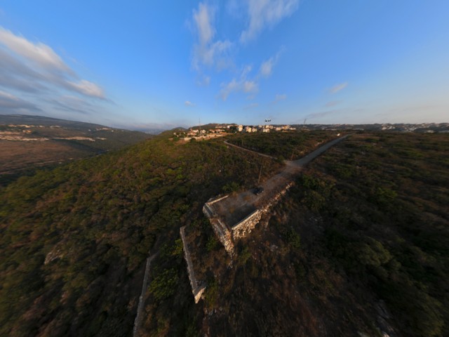
Real deliverables from real sites. Open any card to explore it.
 Survey
Survey
Survey
+ Virtual tours & real estate videos. Ask us for the full portfolio of 360° walkthroughs and real estate videos.
Ask on WhatsAppHow a typical survey job runs.
An RTK drone flight over your site, checkpointed with ground control points (GCP).
Photogrammetry turns the flight into orthophotos, elevation models, contours, volumes and 3D models.
CAD-ready files, volume reports, 3D models, 360° tours and real estate videos, whichever your project needs.
Across Lebanon. The work on this page spans Tyre, Sidon, Damour, the Bekaa, Baalbeck, Anjar, Yanouh and Medyar.
Our aerial surveys are RTK-corrected and checkpointed with ground control points (GCP), for ±1–3 cm accuracy.
Our standard delivery turnaround is 2–4 days.
It depends on the service: orthophotos, elevation models (DSM/DEM) and CAD-ready contours; stockpile volumes, cut-and-fill and earthwork reports; photogrammetry-based 3D models of buildings, interiors and sites; and 360° virtual tours with real estate videos.
Yes. Stockpile volumes, cut-and-fill and earthwork reports are calculated straight from the same aerial survey data.
Message us on WhatsApp at +961 70 612650, or send the quote form with your site location and what you need. We'll get back to you fast.
Tell us the site and what you need (survey, model, video or tour) and we'll get back to you fast.
Message us on WhatsApp+961 70 612650